The Humberstone
Introduction
The photograph on this page of The Humberstone by Terry Roberts as part of the Geograph project.
The Geograph project started in 2005 with the aim of publishing, organising and preserving representative images for every square kilometre of Great Britain, Ireland and the Isle of Man.

There are currently over 7.5m images from over 14,400 individuals and you can help contribute to the project by visiting https://www.geograph.org.uk
The Humberstone
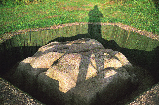
Image: © Terry Roberts Taken: Unknown
A glacial erratic of red granite, the nearest source being the Mountsorrel area. According to the Modern Antiquarian website its name derives from "Hunbeort's Stan".
Images are licensed for reuse under creativecommons.org/licenses/by-sa/2.0
Image Location
Latitude
52.661626
Longitude
-1.077359