Construction at Balloch
Introduction
The photograph on this page of Construction at Balloch by Lairich Rig as part of the Geograph project.
The Geograph project started in 2005 with the aim of publishing, organising and preserving representative images for every square kilometre of Great Britain, Ireland and the Isle of Man.

There are currently over 7.5m images from over 14,400 individuals and you can help contribute to the project by visiting https://www.geograph.org.uk
Construction at Balloch
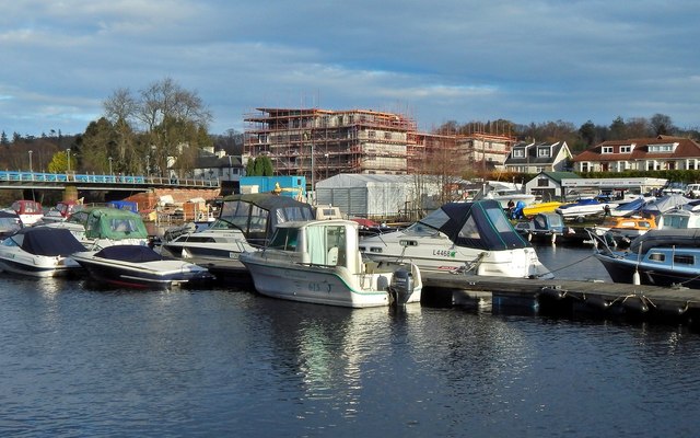
Image: © Lairich Rig Taken: 19 Nov 2014
Image can be seen on the left. The area on the right, on the other side of the Leven, is shown in Image (in more wintry conditions), and also in Image The construction work in the background is taking place on a gap site, which had earlier been the site of a petrol station. The development is to consist of flats and retail units. The completed building is shown in Image; compare Image, an equivalent earlier picture taken before that building appeared.
Images are licensed for reuse under creativecommons.org/licenses/by-sa/2.0
Image Location


Leaflet Map data © OpenStreetMap
Latitude
56.003255
Longitude
-4.58094