Ladygrove Loop name sign in Didcot
Introduction
The photograph on this page of Ladygrove Loop name sign in Didcot by Jaggery as part of the Geograph project.
The Geograph project started in 2005 with the aim of publishing, organising and preserving representative images for every square kilometre of Great Britain, Ireland and the Isle of Man.

There are currently over 7.5m images from over 14,400 individuals and you can help contribute to the project by visiting https://www.geograph.org.uk
Ladygrove Loop name sign in Didcot
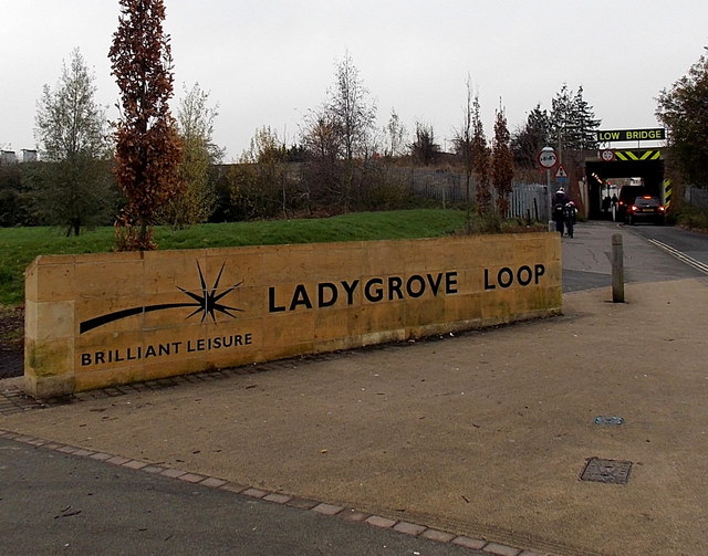
Image: © Jaggery Taken: 4 Dec 2014
The sign is alongside Cow Lane. South Oxfordshire District Council completed the £395,000 Ladygrove Loop project in March 2011. The Loop includes an integrated walking, cycling and fitness route, with two new outside exercise stations, distance interval markers and signs; ten new seating areas and a picnic area; six acres of new wildflower meadows, 3.3 km of new hedgerows and 1,800 new trees planted; two new natural play areas and gateways at Cow Lane and Tyne Avenue; enhancements to the existing play area in Ladygrove Park.
Images are licensed for reuse under creativecommons.org/licenses/by-sa/2.0
Image Location
Latitude
51.610683
Longitude
-1.238753