Towards the southern end of Station Road, Didcot
Introduction
The photograph on this page of Towards the southern end of Station Road, Didcot by Jaggery as part of the Geograph project.
The Geograph project started in 2005 with the aim of publishing, organising and preserving representative images for every square kilometre of Great Britain, Ireland and the Isle of Man.

There are currently over 7.5m images from over 14,400 individuals and you can help contribute to the project by visiting https://www.geograph.org.uk
Towards the southern end of Station Road, Didcot
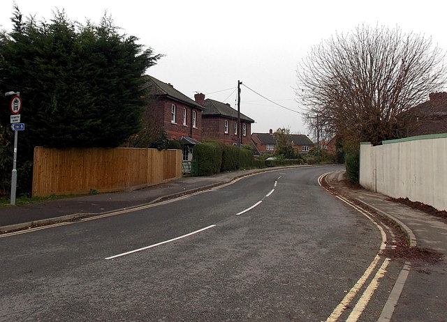
Image: © Jaggery Taken: 4 Dec 2014
This part of Station Road is SE of Didcot Parkway railway station. The red-edged circular sign on the left indicates no motor vehicles, except for access. The southern end of the road is at the edge of the pedestrianised Orchard (shopping) Centre.
Images are licensed for reuse under creativecommons.org/licenses/by-sa/2.0
Image Location
Latitude
51.60898
Longitude
-1.239504