Derry Hill
Introduction
The photograph on this page of Derry Hill by Michael Dibb as part of the Geograph project.
The Geograph project started in 2005 with the aim of publishing, organising and preserving representative images for every square kilometre of Great Britain, Ireland and the Isle of Man.

There are currently over 7.5m images from over 14,400 individuals and you can help contribute to the project by visiting https://www.geograph.org.uk
Derry Hill
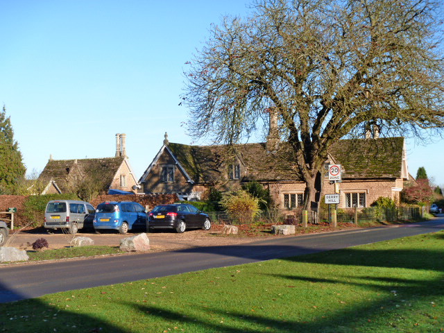
Image: © Michael Dibb Taken: 6 Dec 2014
At the junction of Church Road, Derry Hill, and the A342 Devizes Road is the Golden Gates into Bowood Park Image, the Lansdowne Arms Image, and these delightful Bowood Estate Cottages. Church Road was, until 1810, part of the main London to Bristol Road and travellers would then descend Derry Hill. The cottages dating to circa 1850 are listed, grade II with details at http://list.english-heritage.org.uk/resultsingle.aspx?uid=1253789 and at http://list.english-heritage.org.uk/resultsingle.aspx?uid=1261708
Images are licensed for reuse under creativecommons.org/licenses/by-sa/2.0
Image Location
Latitude
51.434113
Longitude
-2.063391