
Unofficial bridleway, Yatesbury Field
Introduction
The photograph on this page of Unofficial bridleway, Yatesbury Field by Vieve Forward as part of the Geograph project.
The Geograph project started in 2005 with the aim of publishing, organising and preserving representative images for every square kilometre of Great Britain, Ireland and the Isle of Man.

There are currently over 7.5m images from over 14,400 individuals and you can help contribute to the project by visiting https://www.geograph.org.uk
Unofficial bridleway, Yatesbury Field
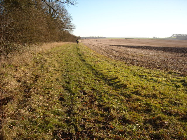
Image: © Vieve Forward Taken: 6 Dec 2014
Riders going from Yatesbury towards Avebury Trusloe ride with the landowner's permission on the edge of the field to the south of the Byway Open To All Traffic. This is probably because the Byway itself has been damaged by people ignoring the notice for them to exercise discretion and not use the Byway unless absolutely necessary, who have thus churned it up to such a degree that it is practically unusable in some weathers.
Images are licensed for reuse under creativecommons.org/licenses/by-sa/2.0
Image Location

Latitude
51.436966
Longitude
-1.901405