Wooden framed house, Marbury
Introduction
The photograph on this page of Wooden framed house, Marbury by Stephen Craven as part of the Geograph project.
The Geograph project started in 2005 with the aim of publishing, organising and preserving representative images for every square kilometre of Great Britain, Ireland and the Isle of Man.

There are currently over 7.5m images from over 14,400 individuals and you can help contribute to the project by visiting https://www.geograph.org.uk
Wooden framed house, Marbury
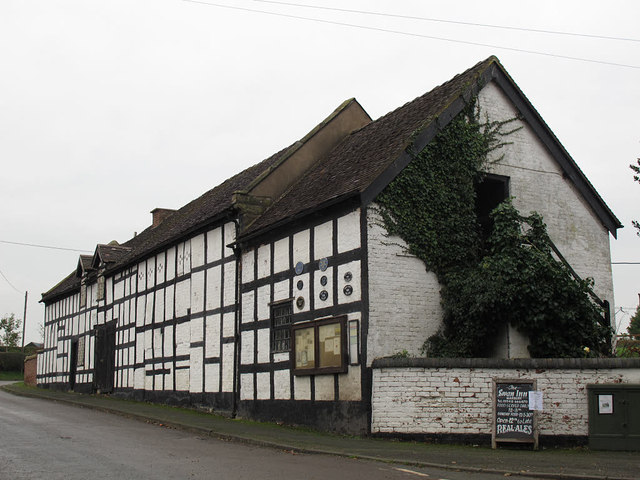
Image: © Stephen Craven Taken: 16 Nov 2014
The building is listed grade 2 (LEN 1312503); the listing describes it as a 17th century farm building, now used as an outhouse to the Swan Inn.
Images are licensed for reuse under creativecommons.org/licenses/by-sa/2.0
Image Location
Latitude
53.007072
Longitude
-2.655687