A495 passing The Rookery, Bettisfield Park
Introduction
The photograph on this page of A495 passing The Rookery, Bettisfield Park by David Smith as part of the Geograph project.
The Geograph project started in 2005 with the aim of publishing, organising and preserving representative images for every square kilometre of Great Britain, Ireland and the Isle of Man.

There are currently over 7.5m images from over 14,400 individuals and you can help contribute to the project by visiting https://www.geograph.org.uk
A495 passing The Rookery, Bettisfield Park
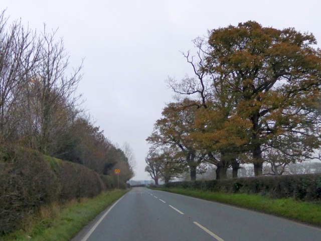
Image: © David Smith Taken: 28 Nov 2014
The park, and the woodland named "The Rookery" are on the left. The trees on that side screen an area of recent planting.
Images are licensed for reuse under creativecommons.org/licenses/by-sa/2.0
Image Location
Latitude
52.928572
Longitude
-2.805493