Lychgate and Spire Appeal progress board in Alderley Edge
Introduction
The photograph on this page of Lychgate and Spire Appeal progress board in Alderley Edge by Jaggery as part of the Geograph project.
The Geograph project started in 2005 with the aim of publishing, organising and preserving representative images for every square kilometre of Great Britain, Ireland and the Isle of Man.

There are currently over 7.5m images from over 14,400 individuals and you can help contribute to the project by visiting https://www.geograph.org.uk
Lychgate and Spire Appeal progress board in Alderley Edge
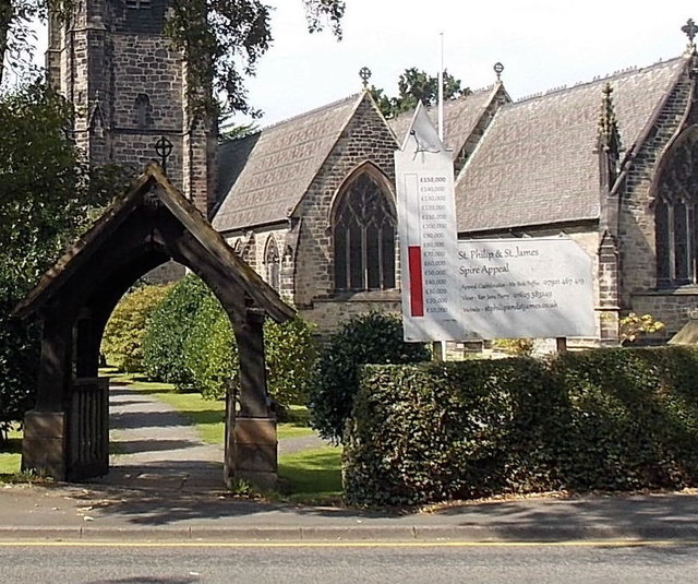
Image: © Jaggery Taken: 8 Sep 2014
At an entrance to the Parish Church of St Philip & St James. http://www.geograph.org.uk/photo/4268956 The lychgate was formerly used to shelter a coffin until the clergyman's arrival for the burial, or pre-burial service. In early September 2014, the spire appeal fund has reached about £80,000 of the £150,000 needed.
Images are licensed for reuse under creativecommons.org/licenses/by-sa/2.0
Image Location
Latitude
53.304018
Longitude
-2.238256