Approaching the Banbridge District Boundary on the Bann Road
Introduction
The photograph on this page of Approaching the Banbridge District Boundary on the Bann Road by Eric Jones as part of the Geograph project.
The Geograph project started in 2005 with the aim of publishing, organising and preserving representative images for every square kilometre of Great Britain, Ireland and the Isle of Man.

There are currently over 7.5m images from over 14,400 individuals and you can help contribute to the project by visiting https://www.geograph.org.uk
Approaching the Banbridge District Boundary on the Bann Road
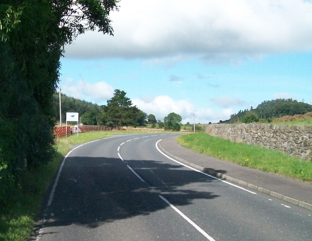
Image: © Eric Jones Taken: 15 Aug 2014
The image was taken from the Down District. The Banbridge and Down Districts are two of 26 council areas formed on 1 October 1973. From 2015 Banbridge and Down will disappear as local government areas each being absorbed into much larger units with present boundary being pushed much further west almost to the village of Moneyslane.
Images are licensed for reuse under creativecommons.org/licenses/by-sa/2.0
Image Location
Latitude
54.257052
Longitude
-5.972484