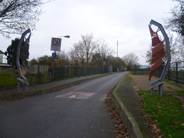
Coppermill Lane
Introduction
The photograph on this page of Coppermill Lane by Marathon as part of the Geograph project.
The Geograph project started in 2005 with the aim of publishing, organising and preserving representative images for every square kilometre of Great Britain, Ireland and the Isle of Man.
There are currently over 7.5m images from over 14,400 individuals and you can help contribute to the project by visiting https://www.geograph.org.uk

Image: © Marathon Taken: 3 Dec 2014
Coppermill Lane is an extension of Walthamstow High Street and leads past Walthamstow Reservoirs to eventually reach the Lee Navigation and Springfield Park. Although it is a road here, vehicles cannot proceed beyond the low bridge carrying the railway between Tottenham Hale and Clapton. Coppermill Lane takes its name from an old copper mill which would once have been on the River Lea. The bridge just ahead crosses the Lee Flood Relief Channel, and beyond that Walthamstow Reservoir No 5, with its island, is on the right.

