Green Lane
Introduction
The photograph on this page of Green Lane by Nigel Mykura as part of the Geograph project.
The Geograph project started in 2005 with the aim of publishing, organising and preserving representative images for every square kilometre of Great Britain, Ireland and the Isle of Man.

There are currently over 7.5m images from over 14,400 individuals and you can help contribute to the project by visiting https://www.geograph.org.uk
Green Lane
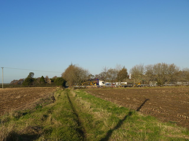
Image: © Nigel Mykura Taken: 3 Dec 2014
This field boundary/track was probably once the main access track to Rushy Wood Farm from the Puddletown area of Haselbury. When the new road was built it became redundant.
Images are licensed for reuse under creativecommons.org/licenses/by-sa/2.0
Image Location


Leaflet Map data © OpenStreetMap
Latitude
50.89652
Longitude
-2.76338