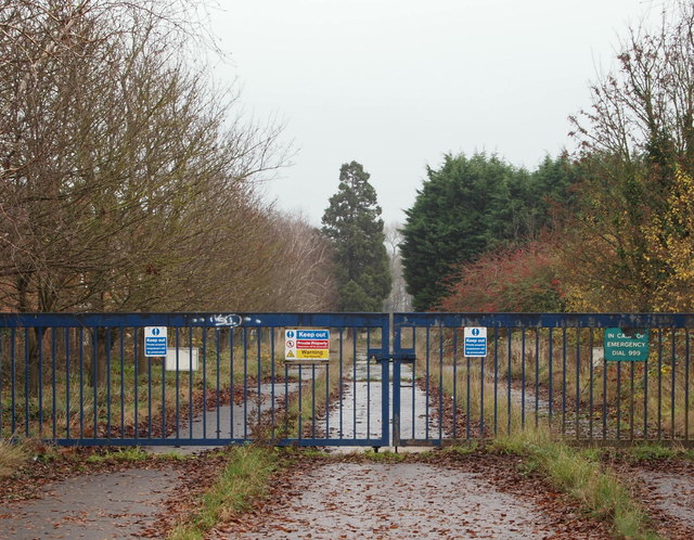
Sleaford East Signal Box Vicinity, Lincs.
Introduction
The photograph on this page of Sleaford East Signal Box Vicinity, Lincs. by David Hallam-Jones as part of the Geograph project.
The Geograph project started in 2005 with the aim of publishing, organising and preserving representative images for every square kilometre of Great Britain, Ireland and the Isle of Man.
There are currently over 7.5m images from over 14,400 individuals and you can help contribute to the project by visiting https://www.geograph.org.uk

Image: © David Hallam-Jones Taken: 29 Nov 2014
A pair of secured entrance gates on the north side of the Sleaford-Rauceby section of the railway track leading to a former industrial area (?) Since the route ahead is an easterly one and given that the road (?) is on the north side of the main railway line (i.e. the 'wrong' side of the track for a direct link with the former Bass Maltings - off Mareham Lane) perhaps this is not a former link with the Maltings? These gates are situated at the side of an 'old' semi-detached house on the "Sleaford town centre side" of the main Skegness-Nottingham line.

