South Gate Vicinity, Sleaford, Lincs.
Introduction
The photograph on this page of South Gate Vicinity, Sleaford, Lincs. by David Hallam-Jones as part of the Geograph project.
The Geograph project started in 2005 with the aim of publishing, organising and preserving representative images for every square kilometre of Great Britain, Ireland and the Isle of Man.

There are currently over 7.5m images from over 14,400 individuals and you can help contribute to the project by visiting https://www.geograph.org.uk
South Gate Vicinity, Sleaford, Lincs.
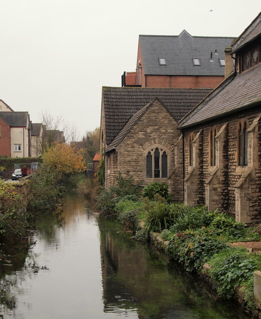
Image: © David Hallam-Jones Taken: 29 Nov 2014
The River Slea on the east side of South Gate, running parallel with Sleaford's Riverside Church. This worshipping community was formed in 2008 when Sleaford United Reformed Church (URC) and Sleaford Community Church united. The Riverside Church is based in the URC building, built in 1867/1868.
Images are licensed for reuse under creativecommons.org/licenses/by-sa/2.0
Image Location
Latitude
52.998079
Longitude
-0.4104