Houses at the south of Cockshutt
Introduction
The photograph on this page of Houses at the south of Cockshutt by David Smith as part of the Geograph project.
The Geograph project started in 2005 with the aim of publishing, organising and preserving representative images for every square kilometre of Great Britain, Ireland and the Isle of Man.

There are currently over 7.5m images from over 14,400 individuals and you can help contribute to the project by visiting https://www.geograph.org.uk
Houses at the south of Cockshutt
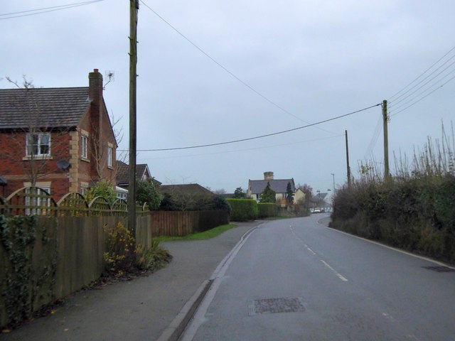
Image: © David Smith Taken: 28 Nov 2014
Beyond the older brick house is a cluster of modern houses arranged in what was formerly a triangular plot with the long side along the road. It makes for interesting shapes for the gardens. Older maps show this was a triangular orchard or coppice
Images are licensed for reuse under creativecommons.org/licenses/by-sa/2.0
Image Location
Latitude
52.853813
Longitude
-2.839452