Houses by A528 near Preston Gubbals
Introduction
The photograph on this page of Houses by A528 near Preston Gubbals by David Smith as part of the Geograph project.
The Geograph project started in 2005 with the aim of publishing, organising and preserving representative images for every square kilometre of Great Britain, Ireland and the Isle of Man.

There are currently over 7.5m images from over 14,400 individuals and you can help contribute to the project by visiting https://www.geograph.org.uk
Houses by A528 near Preston Gubbals
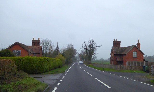
Image: © David Smith Taken: 28 Nov 2014
These two houses were obviously built as a pair, though both have been modified. Were they gatehouses?
Images are licensed for reuse under creativecommons.org/licenses/by-sa/2.0
Image Location
Latitude
52.767397
Longitude
-2.749306