Bovingdon Airfield from the air
Introduction
The photograph on this page of Bovingdon Airfield from the air by Thomas Nugent as part of the Geograph project.
The Geograph project started in 2005 with the aim of publishing, organising and preserving representative images for every square kilometre of Great Britain, Ireland and the Isle of Man.

There are currently over 7.5m images from over 14,400 individuals and you can help contribute to the project by visiting https://www.geograph.org.uk
Bovingdon Airfield from the air
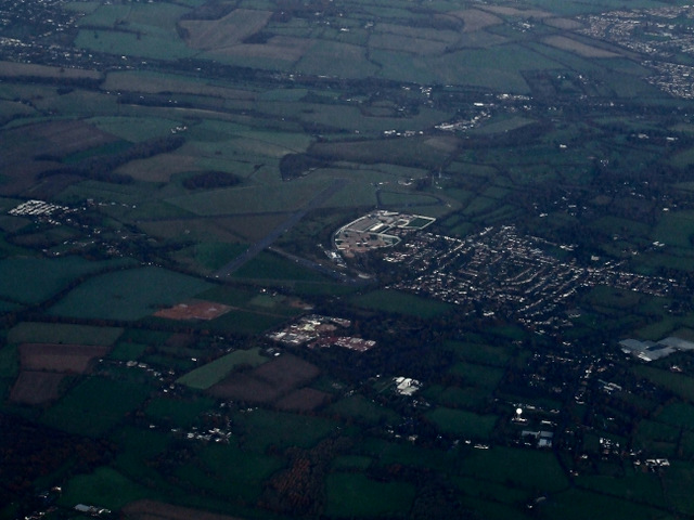
Image: © Thomas Nugent Taken: 24 Nov 2014
A former RAF airfield http://en.wikipedia.org/wiki/RAF_Bovingdon closed in 1968. Part of the site houses HM Prison The Mount http://en.wikipedia.org/wiki/HM_Prison_The_Mount . Seen while circling, waiting to approach Heathrow from the east on a flight from Glasgow.
Images are licensed for reuse under creativecommons.org/licenses/by-sa/2.0
Image Location
Latitude
51.71224
Longitude
-0.546779