Bond Street, Malvern
Introduction
The photograph on this page of Bond Street, Malvern by Jaggery as part of the Geograph project.
The Geograph project started in 2005 with the aim of publishing, organising and preserving representative images for every square kilometre of Great Britain, Ireland and the Isle of Man.

There are currently over 7.5m images from over 14,400 individuals and you can help contribute to the project by visiting https://www.geograph.org.uk
Bond Street, Malvern
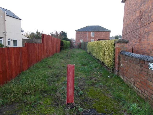
Image: © Jaggery Taken: 29 Nov 2014
I was surprised to see the name sign BOND STREET on the wall on the right, on the corner of Church Road, as the way ahead is a grassy track, protected from vehicular misuse by a metal post. Maps show that ahead is Bond House and the Link Business Centre, beyond which is a short street also named Bond Street, leading to Howsell Road.
Images are licensed for reuse under creativecommons.org/licenses/by-sa/2.0
Image Location


Leaflet Map data © OpenStreetMap
Latitude
52.128788
Longitude
-2.321186