The Nanmor valley near Fronwen
Introduction
The photograph on this page of The Nanmor valley near Fronwen by Nigel Brown as part of the Geograph project.
The Geograph project started in 2005 with the aim of publishing, organising and preserving representative images for every square kilometre of Great Britain, Ireland and the Isle of Man.

There are currently over 7.5m images from over 14,400 individuals and you can help contribute to the project by visiting https://www.geograph.org.uk
The Nanmor valley near Fronwen
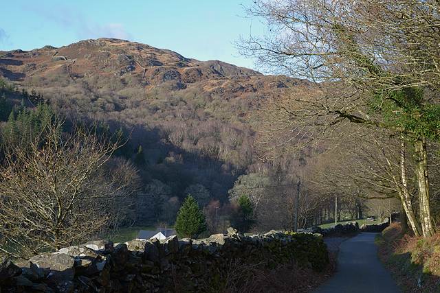
Image: © Nigel Brown Taken: 3 Dec 2014
The odd field and converted farmstead on the valley floor, with steep, craggy, wooded slopes on the valley sides. Moel y Dyniewyd is the hill in the background.
Images are licensed for reuse under creativecommons.org/licenses/by-sa/2.0
Image Location
Latitude
52.994606
Longitude
-4.061144