Turnip Field on North Hill Balk
Introduction
The photograph on this page of Turnip Field on North Hill Balk by Chris Heaton as part of the Geograph project.
The Geograph project started in 2005 with the aim of publishing, organising and preserving representative images for every square kilometre of Great Britain, Ireland and the Isle of Man.

There are currently over 7.5m images from over 14,400 individuals and you can help contribute to the project by visiting https://www.geograph.org.uk
Turnip Field on North Hill Balk
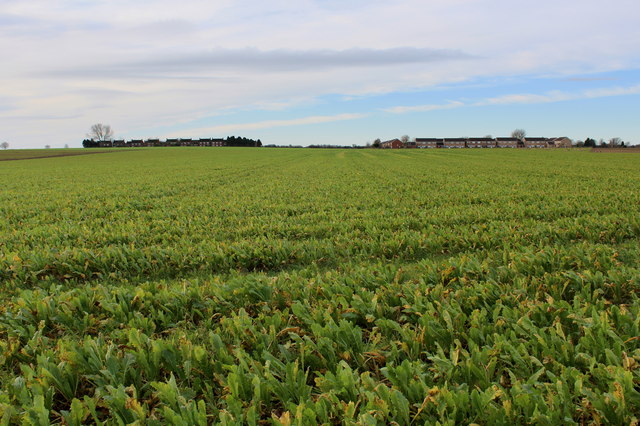
Image: © Chris Heaton Taken: 2 Dec 2014
Large turnip field passed by on Green Lane, on the edge of Ministry of Defence land.
Images are licensed for reuse under creativecommons.org/licenses/by-sa/2.0
Image Location
Latitude
54.133428
Longitude
-1.397436