The Lanes, Minster,Thanet, Kent
Introduction
The photograph on this page of The Lanes, Minster,Thanet, Kent by david mills as part of the Geograph project.
The Geograph project started in 2005 with the aim of publishing, organising and preserving representative images for every square kilometre of Great Britain, Ireland and the Isle of Man.

There are currently over 7.5m images from over 14,400 individuals and you can help contribute to the project by visiting https://www.geograph.org.uk
The Lanes, Minster,Thanet, Kent
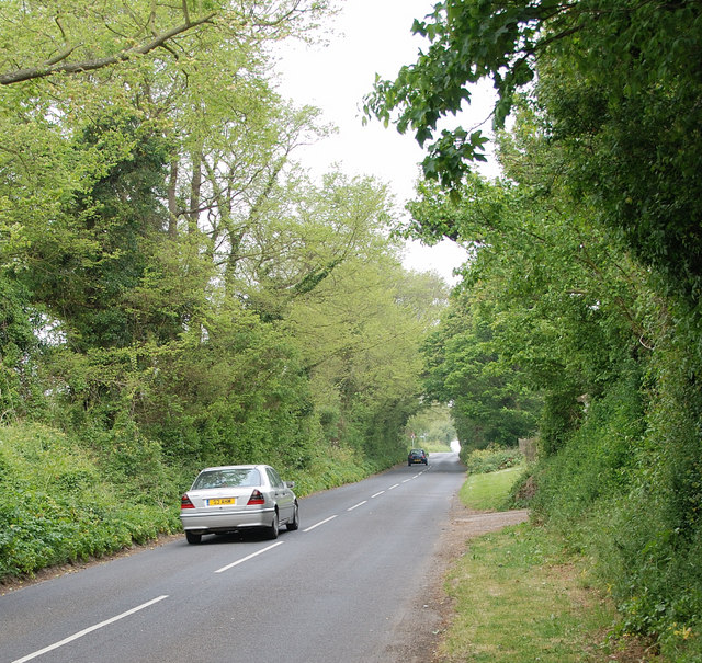
Image: © david mills Taken: 8 May 2007
View along the Lanes looking towards Minster,taken from just before the entrance to Minster House which you can see on the right.
Images are licensed for reuse under creativecommons.org/licenses/by-sa/2.0
Image Location
Latitude
51.335595
Longitude
1.324832