Three ways to go [2]
Introduction
The photograph on this page of Three ways to go [2] by Michael Dibb as part of the Geograph project.
The Geograph project started in 2005 with the aim of publishing, organising and preserving representative images for every square kilometre of Great Britain, Ireland and the Isle of Man.

There are currently over 7.5m images from over 14,400 individuals and you can help contribute to the project by visiting https://www.geograph.org.uk
Three ways to go [2]
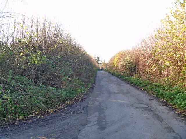
Image: © Michael Dibb Taken: 3 Dec 2014
Vicarage Lane, a track and a designated byway makes a T-junction with another (unnamed) byway. This is the unnamed byway looking south west. Because the byway provides access to Sands Farm, it is surfaced as far as the farm.
Images are licensed for reuse under creativecommons.org/licenses/by-sa/2.0
Image Location
Latitude
51.30231
Longitude
-1.979438