Meadows east of Priest Lane
Introduction
The photograph on this page of Meadows east of Priest Lane by Alan Hunt as part of the Geograph project.
The Geograph project started in 2005 with the aim of publishing, organising and preserving representative images for every square kilometre of Great Britain, Ireland and the Isle of Man.

There are currently over 7.5m images from over 14,400 individuals and you can help contribute to the project by visiting https://www.geograph.org.uk
Meadows east of Priest Lane
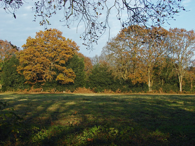
Image: © Alan Hunt Taken: 29 Nov 2014
Grazing meadows to the east of Priest Lane. This area of low intensity farming, treelines and woods between West End village and the Pirbright Ranges is a haven for wildlife.
Images are licensed for reuse under creativecommons.org/licenses/by-sa/2.0
Image Location
Latitude
51.335768
Longitude
-0.662217