Ruin at crossroads
Introduction
The photograph on this page of Ruin at crossroads by Jon Coupland as part of the Geograph project.
The Geograph project started in 2005 with the aim of publishing, organising and preserving representative images for every square kilometre of Great Britain, Ireland and the Isle of Man.

There are currently over 7.5m images from over 14,400 individuals and you can help contribute to the project by visiting https://www.geograph.org.uk
Ruin at crossroads
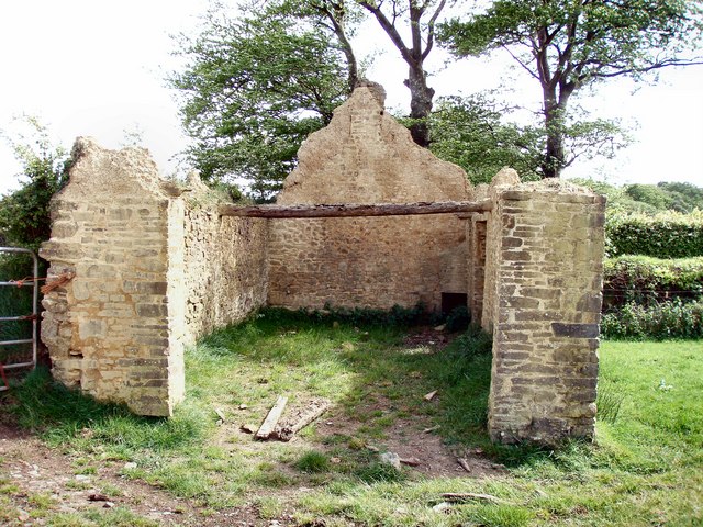
Image: © Jon Coupland Taken: 7 May 2007
This ruin is marked in the OS 1:25000 and does not appear long for this world.
Images are licensed for reuse under creativecommons.org/licenses/by-sa/2.0
Image Location


Leaflet Map data © OpenStreetMap
Latitude
50.691232
Longitude
-4.282744