The road to Horn's House and Fulforth
Introduction
The photograph on this page of The road to Horn's House and Fulforth by Oliver Dixon as part of the Geograph project.
The Geograph project started in 2005 with the aim of publishing, organising and preserving representative images for every square kilometre of Great Britain, Ireland and the Isle of Man.

There are currently over 7.5m images from over 14,400 individuals and you can help contribute to the project by visiting https://www.geograph.org.uk
The road to Horn's House and Fulforth
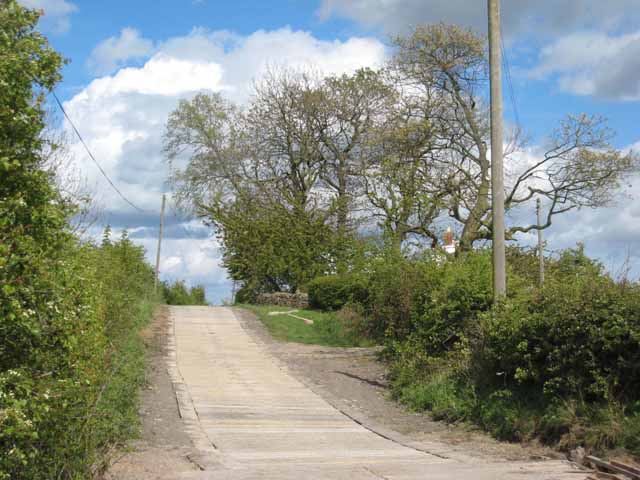
Image: © Oliver Dixon Taken: 6 May 2007
Illustrating a robust approach to the construction of farm roads - massive elongated concrete blocks laid transversely across the road.
Images are licensed for reuse under creativecommons.org/licenses/by-sa/2.0
Image Location
Latitude
54.815455
Longitude
-1.647981