Railway viaduct over River Deerness
Introduction
The photograph on this page of Railway viaduct over River Deerness by Trevor Littlewood as part of the Geograph project.
The Geograph project started in 2005 with the aim of publishing, organising and preserving representative images for every square kilometre of Great Britain, Ireland and the Isle of Man.

There are currently over 7.5m images from over 14,400 individuals and you can help contribute to the project by visiting https://www.geograph.org.uk
Railway viaduct over River Deerness
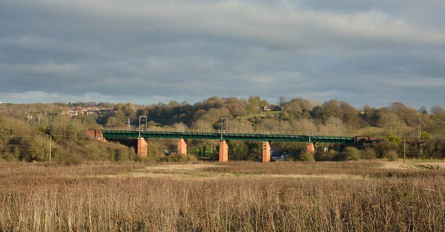
Image: © Trevor Littlewood Taken: 30 Nov 2014
The viaduct carries the East Coast Main Line over the River Deerness close to its confluence with the River Browney.
Images are licensed for reuse under creativecommons.org/licenses/by-sa/2.0
Image Location
Latitude
54.762579
Longitude
-1.607101