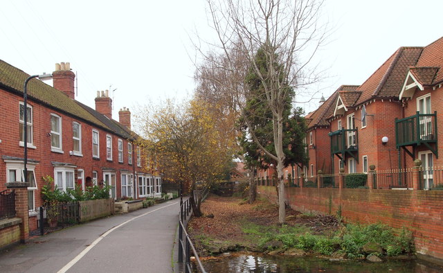
Carre Street Vicinity, Sleaford, Lincs.
Introduction
The photograph on this page of Carre Street Vicinity, Sleaford, Lincs. by David Hallam-Jones as part of the Geograph project.
The Geograph project started in 2005 with the aim of publishing, organising and preserving representative images for every square kilometre of Great Britain, Ireland and the Isle of Man.
There are currently over 7.5m images from over 14,400 individuals and you can help contribute to the project by visiting https://www.geograph.org.uk

Image: © David Hallam-Jones Taken: 29 Nov 2014
Both "Berkeley Court" apartments on the right and this row of terraced houses look out onto this dry, disused spur of the Sleaford Navigation (a canal) that once continued to Money's Corn Mill in the town centre, several hundred metres ahead. Behind the photographer the footpath carries pedestrians towards the new-ish (2008) 'lift-up' bridge and to facilities on the other side of "The Navigation", including the National Centre for Craft and Design, a Health Centre and other parts of the town.

