Church Meadow, Calverton
Introduction
The photograph on this page of Church Meadow, Calverton by Richard Vince as part of the Geograph project.
The Geograph project started in 2005 with the aim of publishing, organising and preserving representative images for every square kilometre of Great Britain, Ireland and the Isle of Man.

There are currently over 7.5m images from over 14,400 individuals and you can help contribute to the project by visiting https://www.geograph.org.uk
Church Meadow, Calverton
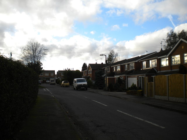
Image: © Richard Vince Taken: 25 Oct 2014
A residential cul de sac off Bonner Hill near to the southern edge of the village.
Images are licensed for reuse under creativecommons.org/licenses/by-sa/2.0
Image Location
Latitude
53.034616
Longitude
-1.078218