Nag's Head Passage, Sleaford, Lincs.
Introduction
The photograph on this page of Nag's Head Passage, Sleaford, Lincs. by David Hallam-Jones as part of the Geograph project.
The Geograph project started in 2005 with the aim of publishing, organising and preserving representative images for every square kilometre of Great Britain, Ireland and the Isle of Man.

There are currently over 7.5m images from over 14,400 individuals and you can help contribute to the project by visiting https://www.geograph.org.uk
Nag's Head Passage, Sleaford, Lincs.
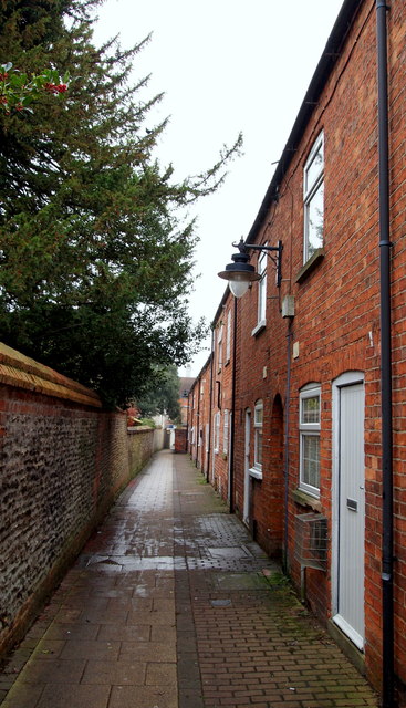
Image: © David Hallam-Jones Taken: 29 Nov 2014
Less than half-a-minute's walk behind the photographer another footpath (with the same name or maybe a different one?) heads off at a right angle towards the station (barely a minute's walk away). This is an easterly view of the passageway exiting in the town centre. Presumably the passageway took its name from a nearby (former) Grade II-listed public house on South Gate. By all accounts this passageway had been allowed to get into a very run down state around 2008, but with Civic Heritage support, it now provides an interesting shortcut from the south of the town into the town centre and some small but desirable houses.
Images are licensed for reuse under creativecommons.org/licenses/by-sa/2.0
Image Location
Latitude
52.996458
Longitude
-0.410162