Astbury, Egerton Arms
Introduction
The photograph on this page of Astbury, Egerton Arms by Mike Faherty as part of the Geograph project.
The Geograph project started in 2005 with the aim of publishing, organising and preserving representative images for every square kilometre of Great Britain, Ireland and the Isle of Man.

There are currently over 7.5m images from over 14,400 individuals and you can help contribute to the project by visiting https://www.geograph.org.uk
Astbury, Egerton Arms
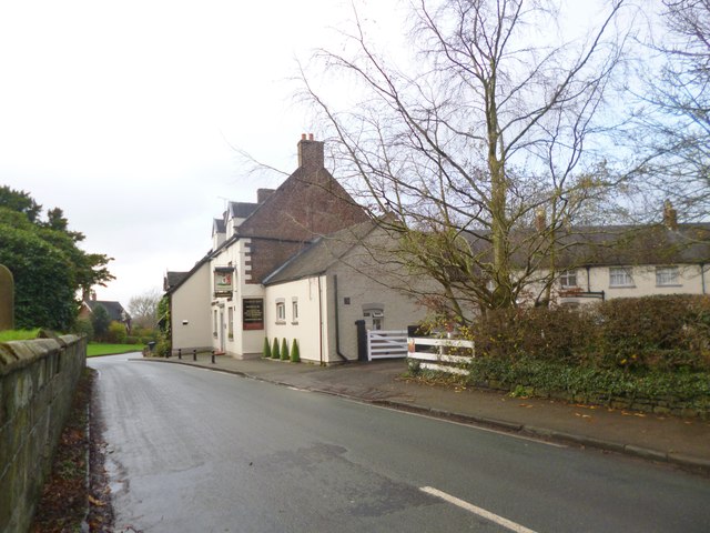
Image: © Mike Faherty Taken: 28 Nov 2014
Welcoming village pub overlooking the parish church. Back bar, with eating and drinking areas left and front, restaurant at back; garden and playground. Robinsons Blonde, Double Hop, Indulgence and Unicorn were on offer at my visit. http://www.egertonarms.co.uk/index.html
Images are licensed for reuse under creativecommons.org/licenses/by-sa/2.0
Image Location


Leaflet Map data © OpenStreetMap
Latitude
53.151041
Longitude
-2.232024