Croft y Genau, Rhydlafar
Introduction
The photograph on this page of Croft y Genau, Rhydlafar by Penri Williams as part of the Geograph project.
The Geograph project started in 2005 with the aim of publishing, organising and preserving representative images for every square kilometre of Great Britain, Ireland and the Isle of Man.

There are currently over 7.5m images from over 14,400 individuals and you can help contribute to the project by visiting https://www.geograph.org.uk
Croft y Genau, Rhydlafar
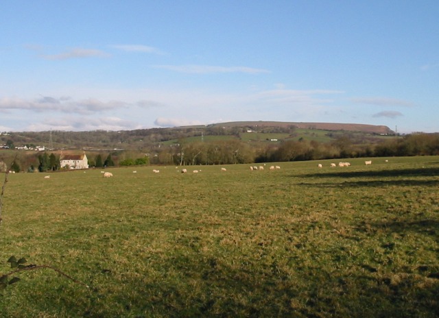
Image: © Penri Williams Taken: 21 Feb 2005
Ardal wledig i'r gogledd o Sain Ffagan ger Fferm Crofft y Genau gyda golygfeydd o fynydd y Garth. A rural area north of St Fagans near Croft y Genau Farm with views of the Garth Mountain.
Images are licensed for reuse under creativecommons.org/licenses/by-sa/2.0
Image Location
Latitude
51.505671
Longitude
-3.277095