Tan yr Allt, between Ceunant and Waunfawr
Introduction
The photograph on this page of Tan yr Allt, between Ceunant and Waunfawr by Christine Johnstone as part of the Geograph project.
The Geograph project started in 2005 with the aim of publishing, organising and preserving representative images for every square kilometre of Great Britain, Ireland and the Isle of Man.

There are currently over 7.5m images from over 14,400 individuals and you can help contribute to the project by visiting https://www.geograph.org.uk
Tan yr Allt, between Ceunant and Waunfawr
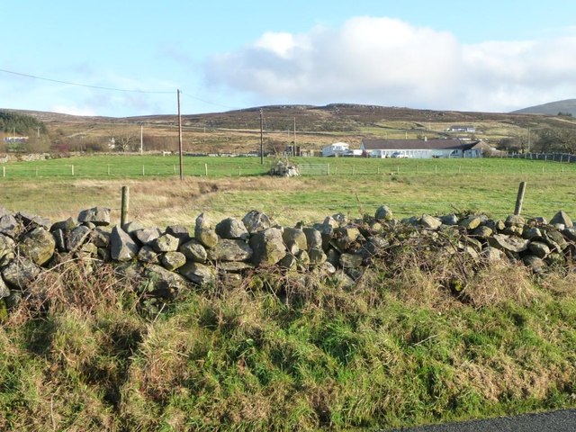
Image: © Christine Johnstone Taken: 22 Nov 2014
On the east side of the road. The house name translates as 'Below the hill'.
Images are licensed for reuse under creativecommons.org/licenses/by-sa/2.0
Image Location
Latitude
53.122755
Longitude
-4.19999