Mattersey House
Introduction
The photograph on this page of Mattersey House by Alan Murray-Rust as part of the Geograph project.
The Geograph project started in 2005 with the aim of publishing, organising and preserving representative images for every square kilometre of Great Britain, Ireland and the Isle of Man.

There are currently over 7.5m images from over 14,400 individuals and you can help contribute to the project by visiting https://www.geograph.org.uk
Mattersey House
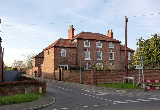
Image: © Alan Murray-Rust Taken: 24 Nov 2014
Mid to late 18th century farmhouse, 3-bey centre with wings. Listed Grade II. There is a bench mark http://www.geograph.org.uk/photo/4260622 on the house just visible at the left hand edge of the picture.
Images are licensed for reuse under creativecommons.org/licenses/by-sa/2.0
Image Location
Latitude
53.396492
Longitude
-0.965145