Former King's Head pub in Berry Hill
Introduction
The photograph on this page of Former King's Head pub in Berry Hill by Jaggery as part of the Geograph project.
The Geograph project started in 2005 with the aim of publishing, organising and preserving representative images for every square kilometre of Great Britain, Ireland and the Isle of Man.

There are currently over 7.5m images from over 14,400 individuals and you can help contribute to the project by visiting https://www.geograph.org.uk
Former King's Head pub in Berry Hill
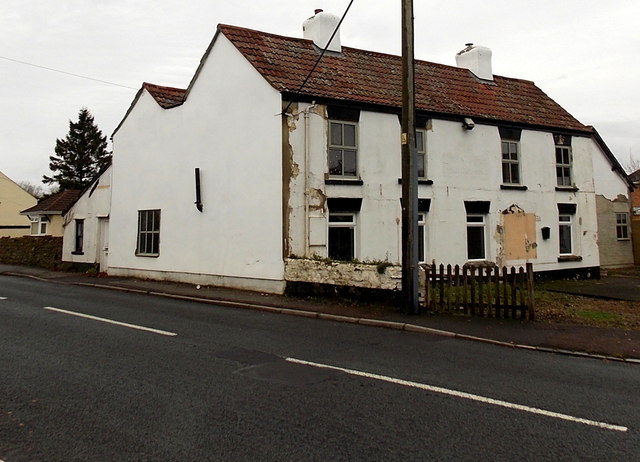
Image: © Jaggery Taken: 23 Nov 2014
Viewed across Grove Road in late November 2014. The building had more chimneys when still in use as a pub in April 2008. http://www.geograph.org.uk/photo/765545
Images are licensed for reuse under creativecommons.org/licenses/by-sa/2.0
Image Location
Latitude
51.807149
Longitude
-2.622316