Gated bus shelter in Berry Hill
Introduction
The photograph on this page of Gated bus shelter in Berry Hill by Jaggery as part of the Geograph project.
The Geograph project started in 2005 with the aim of publishing, organising and preserving representative images for every square kilometre of Great Britain, Ireland and the Isle of Man.

There are currently over 7.5m images from over 14,400 individuals and you can help contribute to the project by visiting https://www.geograph.org.uk
Gated bus shelter in Berry Hill
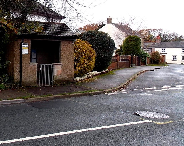
Image: © Jaggery Taken: 23 Nov 2014
On the corner of Grove Road and Marians Lane. There is a spring on the gate which is intended to keep it closed, but it appears from the partly open gate that the spring has weakened somewhat. I wondered why a bus shelter needs a gate. Perhaps because of sheep in the area (this is the edge of the Forest of Dean where sheep roam freely in some locations) though I didn't see any sheep on roads or pavements in this area today.
Images are licensed for reuse under creativecommons.org/licenses/by-sa/2.0
Image Location
Latitude
51.806968
Longitude
-2.622459