Aberystwyth From the A4120
Introduction
The photograph on this page of Aberystwyth From the A4120 by Bill Nicholls as part of the Geograph project.
The Geograph project started in 2005 with the aim of publishing, organising and preserving representative images for every square kilometre of Great Britain, Ireland and the Isle of Man.

There are currently over 7.5m images from over 14,400 individuals and you can help contribute to the project by visiting https://www.geograph.org.uk
Aberystwyth From the A4120
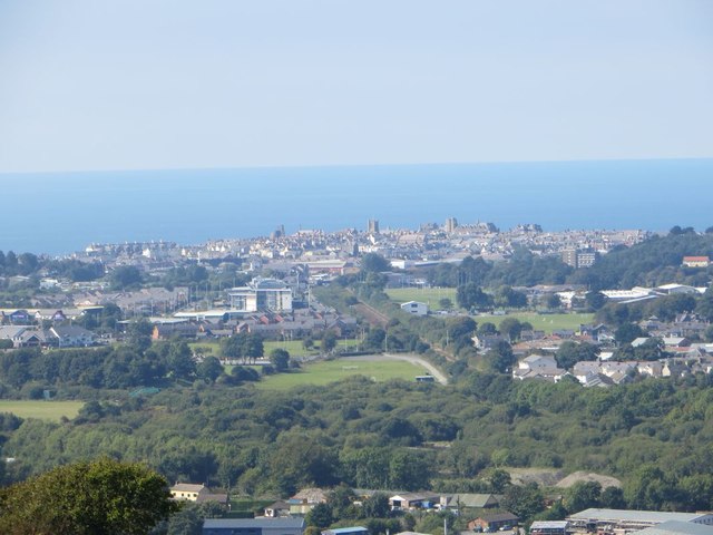
Image: © Bill Nicholls Taken: 9 Sep 2014
View of Aberystwyth from the layby on the A4120 to Devils Bridge
Images are licensed for reuse under creativecommons.org/licenses/by-sa/2.0
Image Location
Latitude
52.412299
Longitude
-4.058285