Bewley Farm
Introduction
The photograph on this page of Bewley Farm by Derek Harper as part of the Geograph project.
The Geograph project started in 2005 with the aim of publishing, organising and preserving representative images for every square kilometre of Great Britain, Ireland and the Isle of Man.

There are currently over 7.5m images from over 14,400 individuals and you can help contribute to the project by visiting https://www.geograph.org.uk
Bewley Farm
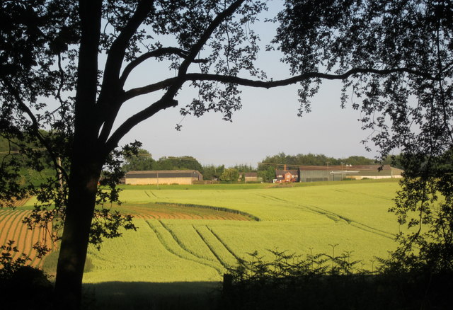
Image: © Derek Harper Taken: 21 Jun 2014
The view on the other side of the road from Image], across a wheat field and, in the foreground, a narrow belt of wooded access land. Beyond the farm is Faggotty Copse.
Images are licensed for reuse under creativecommons.org/licenses/by-sa/2.0
Image Location
Latitude
51.38703
Longitude
-1.620565