Combe Hill Road
Introduction
The photograph on this page of Combe Hill Road by Rose and Trev Clough as part of the Geograph project.
The Geograph project started in 2005 with the aim of publishing, organising and preserving representative images for every square kilometre of Great Britain, Ireland and the Isle of Man.

There are currently over 7.5m images from over 14,400 individuals and you can help contribute to the project by visiting https://www.geograph.org.uk
Combe Hill Road
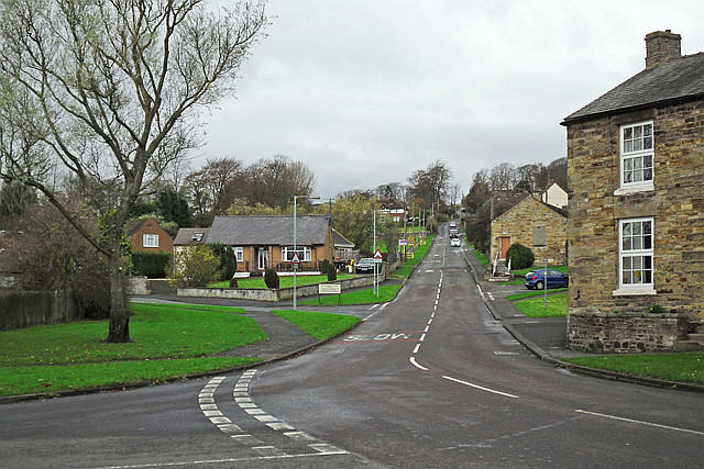
Image: © Rose and Trev Clough Taken: 8 Nov 2014
Climbs out of town in a north westerly direction, eventually meeting the B6318 Military Road.
Images are licensed for reuse under creativecommons.org/licenses/by-sa/2.0
Image Location
Latitude
54.972527
Longitude
-2.4619