The A66 south east of Thornthwaite
Introduction
The photograph on this page of The A66 south east of Thornthwaite by Graham Robson as part of the Geograph project.
The Geograph project started in 2005 with the aim of publishing, organising and preserving representative images for every square kilometre of Great Britain, Ireland and the Isle of Man.

There are currently over 7.5m images from over 14,400 individuals and you can help contribute to the project by visiting https://www.geograph.org.uk
The A66 south east of Thornthwaite
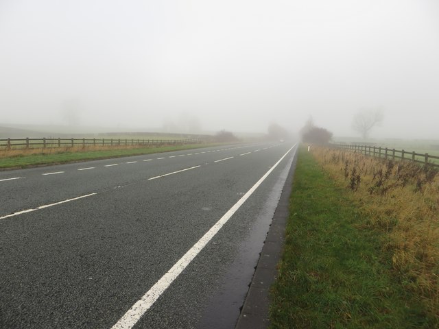
Image: © Graham Robson Taken: 4 Nov 2014
Looking north west along the A66 to the south east of Thornthwaite on a misty November morning. The combination of thick mist and a busy road made crossing the carriageway slightly more precarious than it could have been.
Images are licensed for reuse under creativecommons.org/licenses/by-sa/2.0
Image Location
Latitude
54.614974
Longitude
-3.1943