Llwybr Moor Corner Path
Introduction
The photograph on this page of Llwybr Moor Corner Path by Alan Richards as part of the Geograph project.
The Geograph project started in 2005 with the aim of publishing, organising and preserving representative images for every square kilometre of Great Britain, Ireland and the Isle of Man.

There are currently over 7.5m images from over 14,400 individuals and you can help contribute to the project by visiting https://www.geograph.org.uk
Llwybr Moor Corner Path
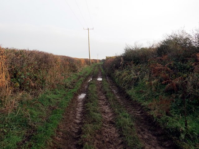
Image: © Alan Richards Taken: 26 Nov 2014
Hen heol las sy'n arwain o Ffarm Margam tuag at Ffarm Moor Corner. Mae'r ffordd eisoes wedi'i hisraddio i lwybr ceffyl. Old green road heading from Margam Corner Farm in the direction of Moor Farm. The thoroughfare has long been downgraded to a bridleway.
Images are licensed for reuse under creativecommons.org/licenses/by-sa/2.0
Image Location


Leaflet Map data © OpenStreetMap
Latitude
51.557115
Longitude
-4.227462