Bus lane, Upper Newtownards Road, Belfast - November 2014(1)
Introduction
The photograph on this page of Bus lane, Upper Newtownards Road, Belfast - November 2014(1) by Albert Bridge as part of the Geograph project.
The Geograph project started in 2005 with the aim of publishing, organising and preserving representative images for every square kilometre of Great Britain, Ireland and the Isle of Man.

There are currently over 7.5m images from over 14,400 individuals and you can help contribute to the project by visiting https://www.geograph.org.uk
Bus lane, Upper Newtownards Road, Belfast - November 2014(1)
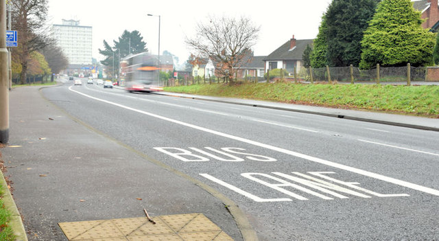
Image: © Albert Bridge Taken: 26 Nov 2014
The existing (evening peak only Image) outward bus lane on the Upper Newtownards Road, between Stormont gates and the Stoney Road. The Civil Service Sports Association grounds are out of picture to the left.
Images are licensed for reuse under creativecommons.org/licenses/by-sa/2.0
Image Location
Latitude
54.594845
Longitude
-5.829773