Directions sign on the southern approach to Berry Hill Pike
Introduction
The photograph on this page of Directions sign on the southern approach to Berry Hill Pike by Jaggery as part of the Geograph project.
The Geograph project started in 2005 with the aim of publishing, organising and preserving representative images for every square kilometre of Great Britain, Ireland and the Isle of Man.

There are currently over 7.5m images from over 14,400 individuals and you can help contribute to the project by visiting https://www.geograph.org.uk
Directions sign on the southern approach to Berry Hill Pike
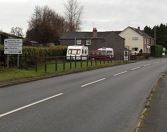
Image: © Jaggery Taken: 23 Nov 2014
At the crossroads ahead, straight on for Symonds Yat, English Bicknor and Christchurch, left for Staunton, right for Lydbrook.
Images are licensed for reuse under creativecommons.org/licenses/by-sa/2.0
Image Location
Latitude
51.803108
Longitude
-2.621245