Track to Highfield Farm at the top of Wooden Beck Hill
Introduction
The photograph on this page of Track to Highfield Farm at the top of Wooden Beck Hill by Chris Morgan as part of the Geograph project.
The Geograph project started in 2005 with the aim of publishing, organising and preserving representative images for every square kilometre of Great Britain, Ireland and the Isle of Man.

There are currently over 7.5m images from over 14,400 individuals and you can help contribute to the project by visiting https://www.geograph.org.uk
Track to Highfield Farm at the top of Wooden Beck Hill
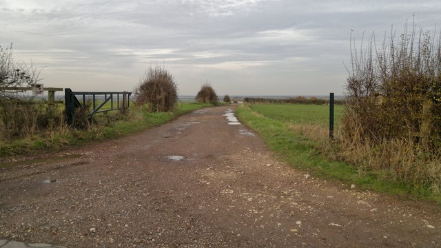
Image: © Chris Morgan Taken: 24 Nov 2014
A high point by the lowlands of the Trent valley as it approaches the Humber.
Images are licensed for reuse under creativecommons.org/licenses/by-sa/2.0
Image Location


Leaflet Map data © OpenStreetMap
Latitude
53.4186
Longitude
-0.865598