The Corner House, Sandy Lane South, Wallington in 1913
Introduction
The photograph on this page of The Corner House, Sandy Lane South, Wallington in 1913 by George W Baker as part of the Geograph project.
The Geograph project started in 2005 with the aim of publishing, organising and preserving representative images for every square kilometre of Great Britain, Ireland and the Isle of Man.

There are currently over 7.5m images from over 14,400 individuals and you can help contribute to the project by visiting https://www.geograph.org.uk
The Corner House, Sandy Lane South, Wallington in 1913
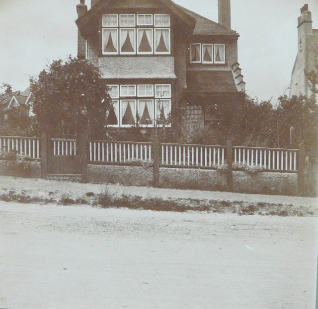
Image: © George W Baker Taken: Unknown
Taken by my paternal grandfather, George W Baker, the house is situated on the corner of Hillside Gardens.
Images are licensed for reuse under creativecommons.org/licenses/by-sa/2.0
Image Location
Latitude
51.354646
Longitude
-0.141054