Sowerby Bridge FP538a
Introduction
The photograph on this page of Sowerby Bridge FP538a by Humphrey Bolton as part of the Geograph project.
The Geograph project started in 2005 with the aim of publishing, organising and preserving representative images for every square kilometre of Great Britain, Ireland and the Isle of Man.

There are currently over 7.5m images from over 14,400 individuals and you can help contribute to the project by visiting https://www.geograph.org.uk
Sowerby Bridge FP538a
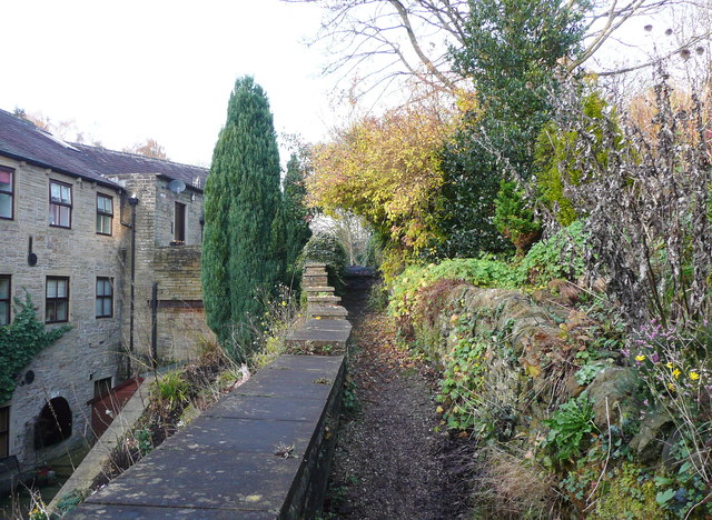
Image: © Humphrey Bolton Taken: 24 Nov 2014
Here the path has climbed up a flight of steps and is perched above a converted mill building. On the right are steep gardens belonging to a row of houses.
Images are licensed for reuse under creativecommons.org/licenses/by-sa/2.0
Image Location


Leaflet Map data © OpenStreetMap
Latitude
53.729391
Longitude
-1.937819