Lebanese Fiesta in Pontypridd
Introduction
The photograph on this page of Lebanese Fiesta in Pontypridd by Jaggery as part of the Geograph project.
The Geograph project started in 2005 with the aim of publishing, organising and preserving representative images for every square kilometre of Great Britain, Ireland and the Isle of Man.

There are currently over 7.5m images from over 14,400 individuals and you can help contribute to the project by visiting https://www.geograph.org.uk
Lebanese Fiesta in Pontypridd
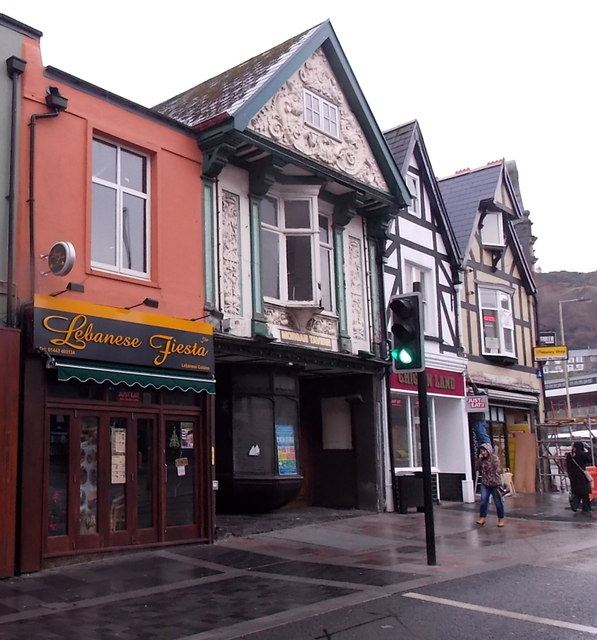
Image: © Jaggery Taken: 25 Nov 2014
Lebanese cuisine restaurant at 10 High Street. The former Morgan Tavern http://www.geograph.org.uk/photo/4257609 is next door.
Images are licensed for reuse under creativecommons.org/licenses/by-sa/2.0
Image Location
Latitude
51.599999
Longitude
-3.341249