Chip Lane
Introduction
The photograph on this page of Chip Lane by Neil Owen as part of the Geograph project.
The Geograph project started in 2005 with the aim of publishing, organising and preserving representative images for every square kilometre of Great Britain, Ireland and the Isle of Man.

There are currently over 7.5m images from over 14,400 individuals and you can help contribute to the project by visiting https://www.geograph.org.uk
Chip Lane
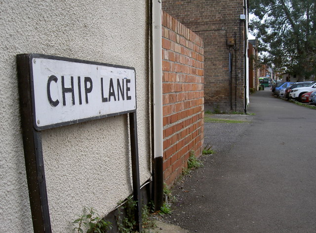
Image: © Neil Owen Taken: 30 Oct 2014
One of Taunton's old lanes remains part of the present. The lane reaches to the junction of Staplegrove Road and Station Road. There is also a flush bracket here on the side wall after the entrance - see Image
Images are licensed for reuse under creativecommons.org/licenses/by-sa/2.0
Image Location
Latitude
51.019933
Longitude
-3.10701