Roman Road from Chester to Colchester
Introduction
The photograph on this page of Roman Road from Chester to Colchester by Richard Law as part of the Geograph project.
The Geograph project started in 2005 with the aim of publishing, organising and preserving representative images for every square kilometre of Great Britain, Ireland and the Isle of Man.

There are currently over 7.5m images from over 14,400 individuals and you can help contribute to the project by visiting https://www.geograph.org.uk
Roman Road from Chester to Colchester
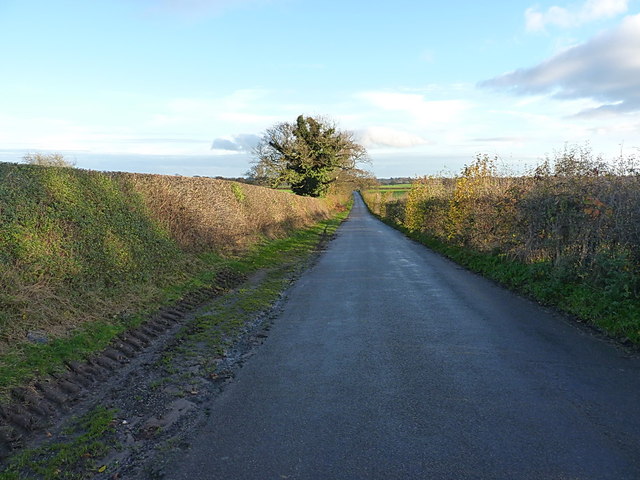
Image: © Richard Law Taken: 22 Nov 2014
A section of the Via Devana road from Deva (Chester) towards Colonia Victricensis (Colchester), which here heads more or less directly to Pennocrucium, the settlement in Image just off Watling Street near Penkridge.
Images are licensed for reuse under creativecommons.org/licenses/by-sa/2.0
Image Location


Leaflet Map data © OpenStreetMap
Latitude
52.819263
Longitude
-2.396295