Waterhouse Lane in November
Introduction
The photograph on this page of Waterhouse Lane in November by Stefan Czapski as part of the Geograph project.
The Geograph project started in 2005 with the aim of publishing, organising and preserving representative images for every square kilometre of Great Britain, Ireland and the Isle of Man.

There are currently over 7.5m images from over 14,400 individuals and you can help contribute to the project by visiting https://www.geograph.org.uk
Waterhouse Lane in November
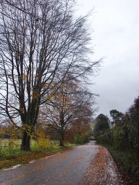
Image: © Stefan Czapski Taken: 23 Nov 2014
Seen on a day when rain fell for many hours. A few hundred yards ahead (near Ivy Mill Lane) the road was under an inch or two of water - the water being bright ochreous yellow, presumably the colour of local clay. The field on the left appeared to be pasture, but not recently grazed. Its far boundary lies along the A25.
Images are licensed for reuse under creativecommons.org/licenses/by-sa/2.0
Image Location


Leaflet Map data © OpenStreetMap
Latitude
51.244343
Longitude
-0.082175