Fields at Lower Hartshay
Introduction
The photograph on this page of Fields at Lower Hartshay by Jonathan Clitheroe as part of the Geograph project.
The Geograph project started in 2005 with the aim of publishing, organising and preserving representative images for every square kilometre of Great Britain, Ireland and the Isle of Man.

There are currently over 7.5m images from over 14,400 individuals and you can help contribute to the project by visiting https://www.geograph.org.uk
Fields at Lower Hartshay
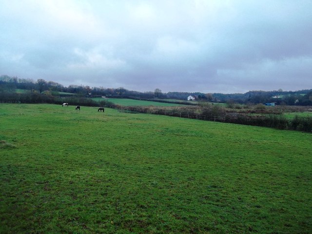
Image: © Jonathan Clitheroe Taken: 22 Nov 2014
Livestock grazing in a field bordering the disused Cromford Canal.
Images are licensed for reuse under creativecommons.org/licenses/by-sa/2.0
Image Location
Latitude
53.05724
Longitude
-1.432843